


A trilingual (German / English / French) highly detailed tourist map and travel guide to Morocco.
Of the more than 300 destinations marked on the map page, over 70 are described in greater detail on the travel guide page, and 56 of these include coordinates.
Including background information on the history, sightseeing opportunities, and other highlights.
– Tissint – a walled village of historical significance
– Charles de Foucauld: detailed information on an eventful life
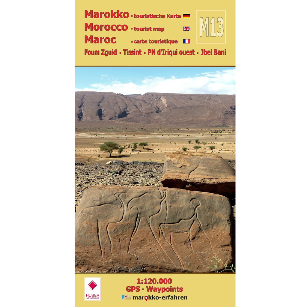
– Prehistorian Alain Rodrigue explains the Tazina style of rock engravings
– Introduction to the Saharan wheatear
– Searching and finding: pre-Islamic rock formations in the desert
– References to descriptions by Charles de Foucauld and Marquis René de Segonzac
– Weekly market days (souks)
Crossing Jbel Bani heading south is a treat for any desert lover. The area is sparsely populated, and numerous rock carvings and traces of pre-Islamic settlement in the form of enigmatic stone monuments provide ample reason to explore the surroundings in depth. Desert drives through the Erg Chegaga past Lac Iriqui can be enhanced by searching for fossils and engravings. With a bit of luck, the Saharan stonechat might fly by. This raises the question of who is observing whom… Charles de Foucauld allowed us, through his vivid travel accounts, to experience a landscape that looked quite different back then. In Tissint, you can visit the house where he once lived. Roger Mimó Lladós provides a written account of the founding of the Zaouïa of Mrimima in the 18th century, located at what was once a major caravan crossroads.
Cartographic consultation by Prof. Dr. Uwe Ulrich Jäschke, Dresden
Concept and implementationwww.marokko-erfahren.de
Further information:
www.marokko-erfahren.de/informieren/landkarten-marokko-erfahren/m13-foum-zguid-tissint-pn-diriqui-ouest-jbel-bani