
Are you interested not only in having satellite images analyzed, but also in using them yourself for data analysis? Then you’ve come to the right place!
Our company not only evaluates and analyses satellite images, but also makes them available to you as a provider. Huber Kartographie GmbH works together with other companies and organizations that provide the image material from their satellites.
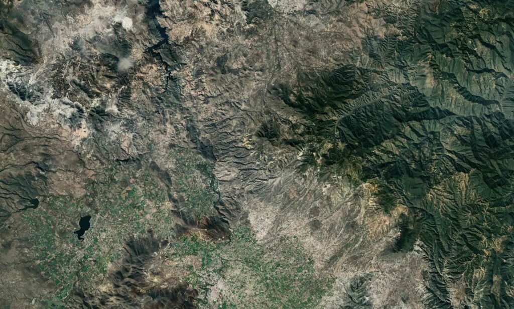
Areas of application for satellite images
Satellite images are used in many different areas.
- Education and research
- Energy and Agriculture
- Government and defense
- Planning fundamentals
- Forest and nature conservation
- Transport
- Mapping
- Finance and insurance
- Hazard detection
- Rescue operations
- Scenario modelling
SKYCUES Satellite images
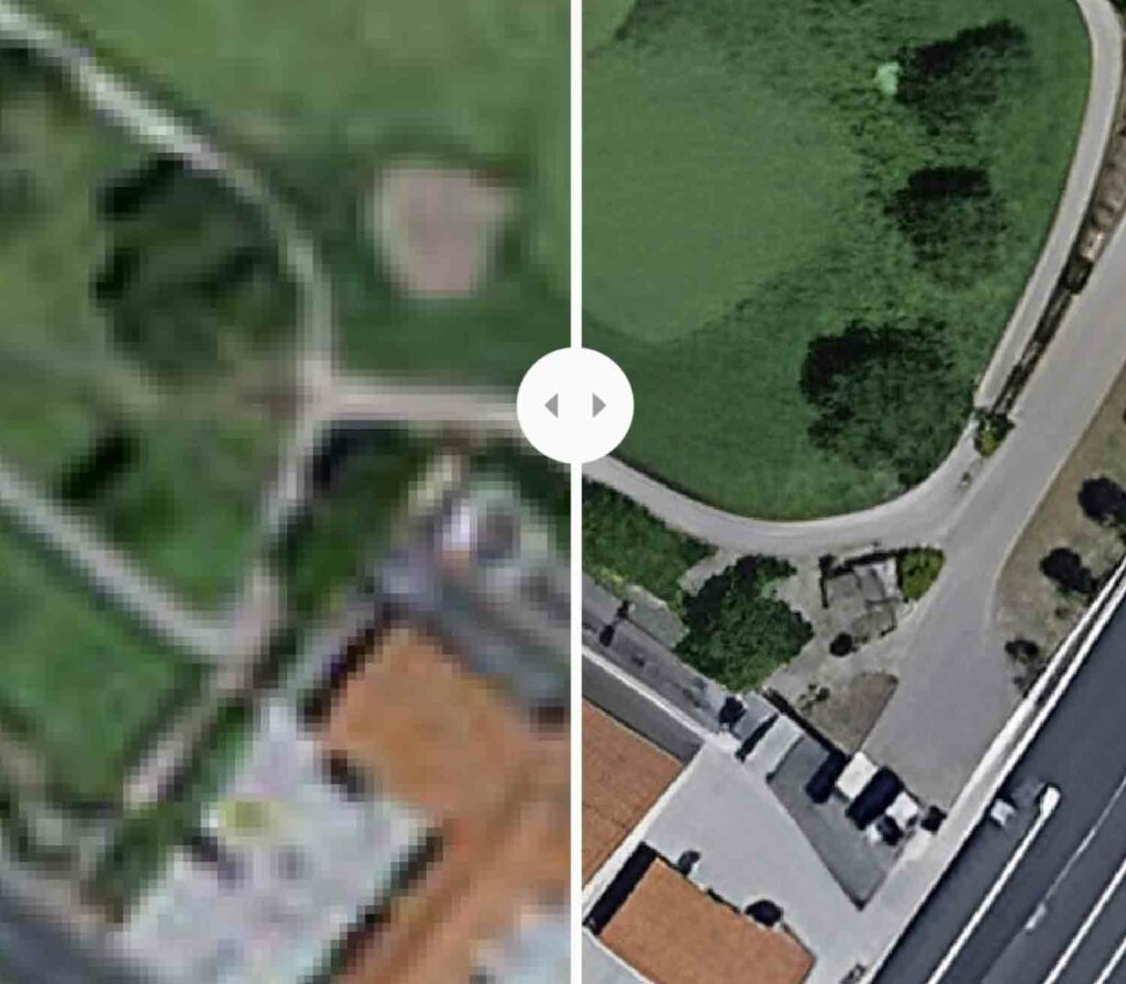
Our company also works with SKYCUES to optimize the quality of satellite images. SKYCUES is a start-up company from Switzerland that offers a service to improve satellite images.
This results in the following advantages for you:
- Any area size at any time
- Spatial pixel resolution: 1 meter
- Updated every 5 days
- Genuine orthophotos (distortion-free and true-to-scale images of the earth’s surface)
- High cost efficiency through technical optimisation of resolution
Do you have any questions about satellite images and their analysis? Contact us and we will be happy to advise you on our services!