
Huber Kartographie GmbH is one of the largest cartographic developers and service providers in Europe. Our company has one of the world’s most extensive geographical data archives, which covers all types of media and is constantly updated and expanded by our cartographic experts. This enables us to offer you a comprehensive selection of high-quality topographical and thematic maps, which can be customized to your individual requirements on request.

We are happy to produce according to your ideas:
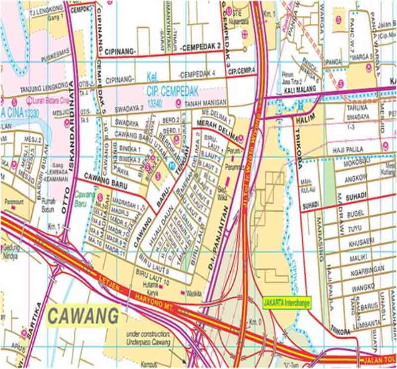
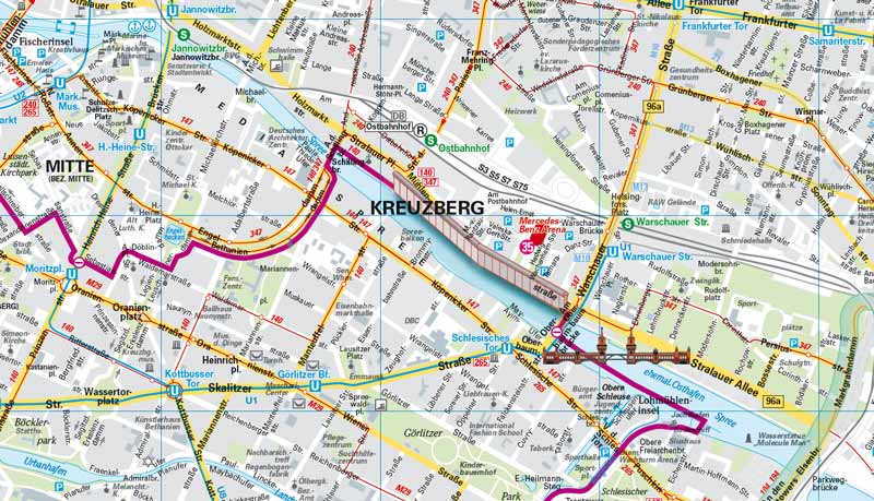
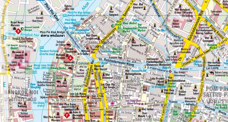
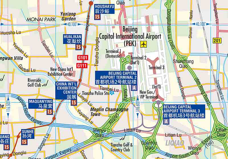
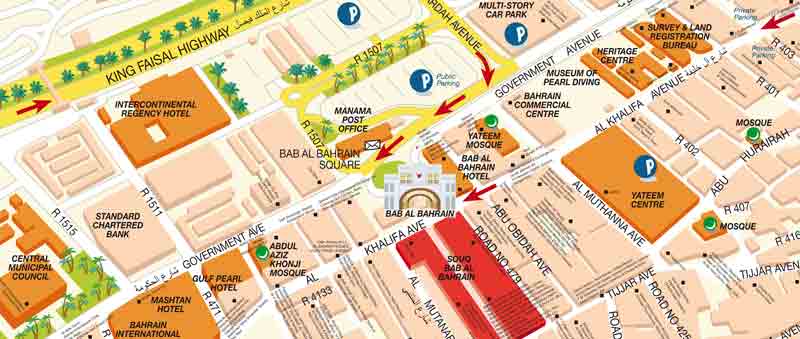
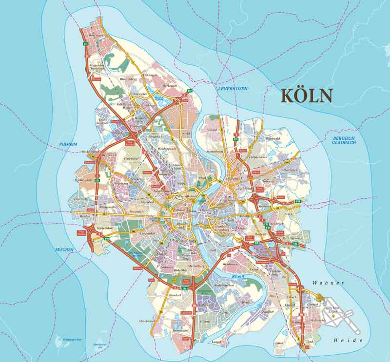
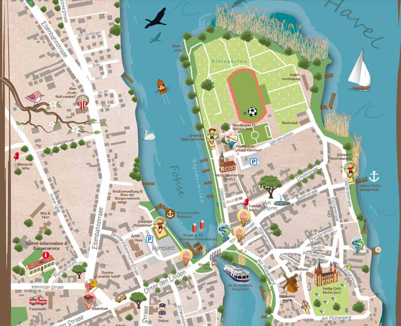
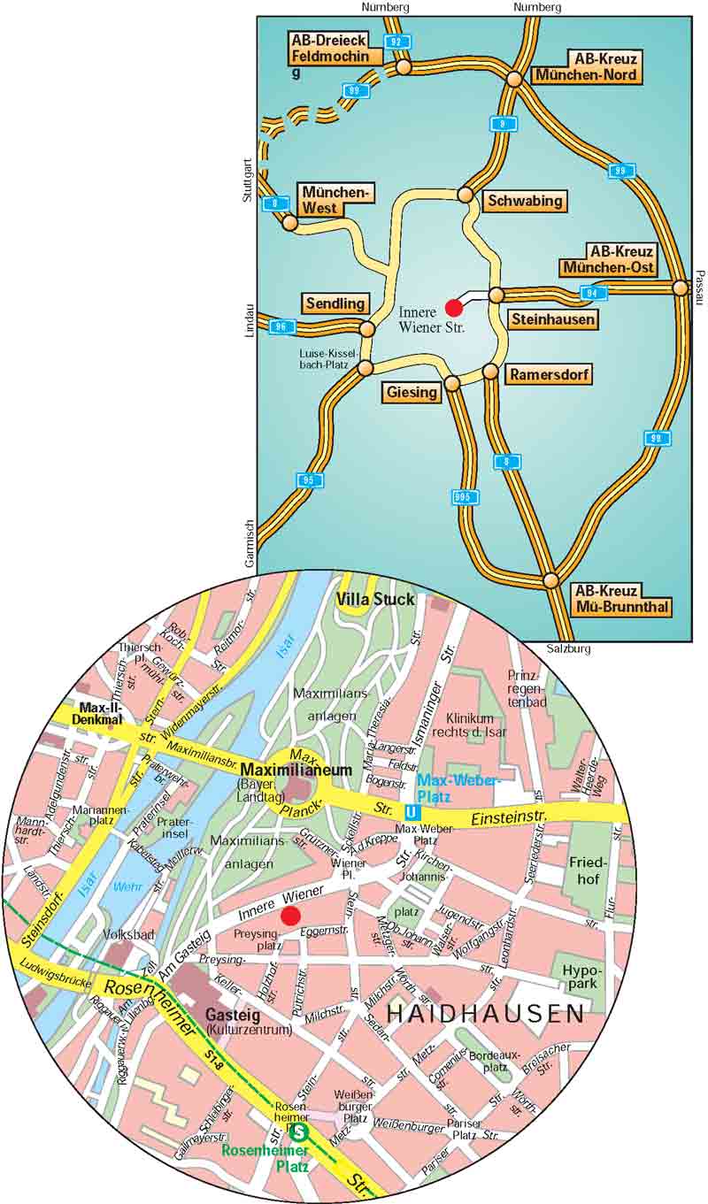
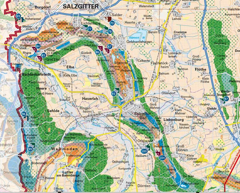
- City Maps
- Road Atlases
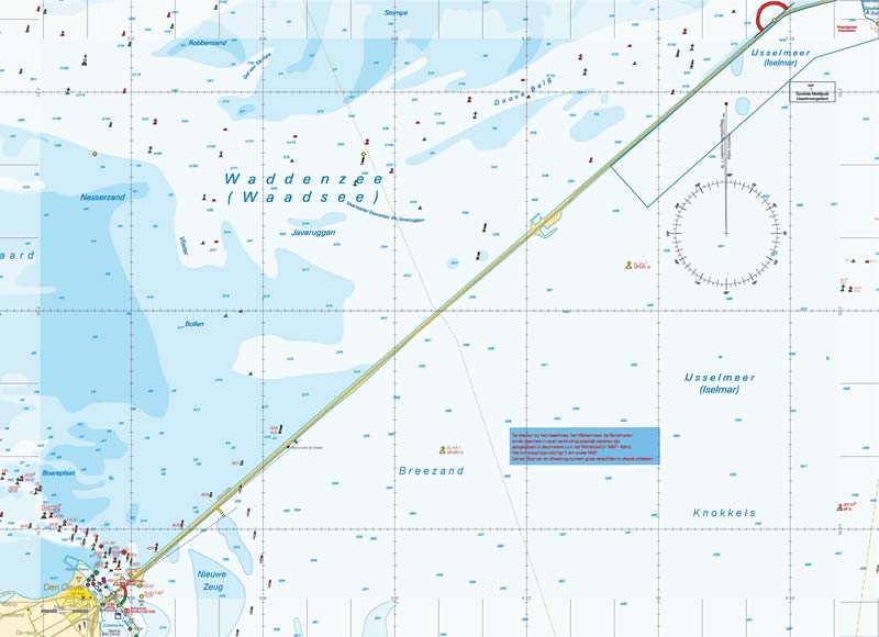
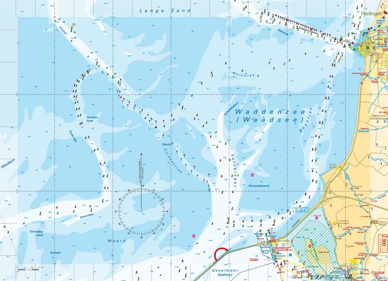
- River course maps
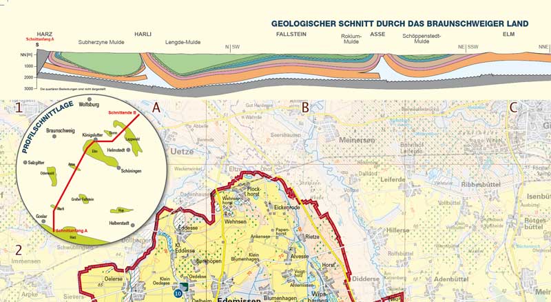
- Geological Maps
- Military Maps
- Statistical Maps
- Country Maps
- Atlases
- Travel plans and travel guides
- Interactive Maps
- Customized Maps
- Thematic Maps
- Globes
- Puzzle Globe
- Globe with terrain or political representation of the earth
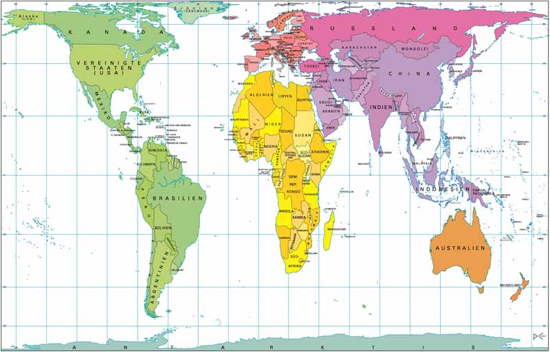
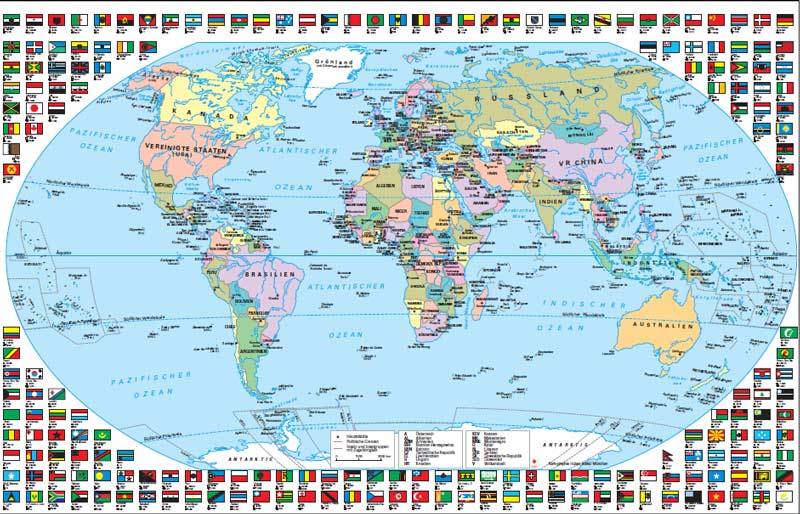
- World Maps
- Peter's World Map
- World Maps in different projections
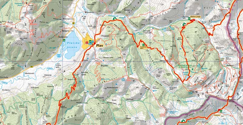
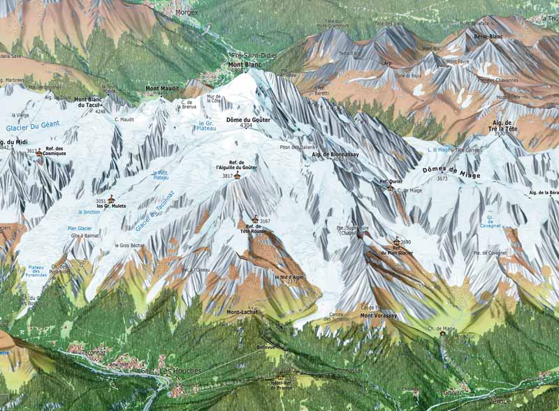
- Specialized Maps
- Leisure, cycling and hiking maps
- School maps (atlas or wall maps)
- Site plans
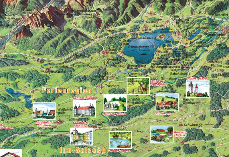
- Panoramic maps (e.g. for tourism organizations)
- and many more ...
Cartographic services
In addition to providing topographic and thematic maps of all kinds, we at Huber Kartographie GmbH also take care of their production.
We also process map data in any file format that you provide us with, or convert it into other formats, such as converting graphic data formats (FreeHand or Adobe Illustrator, CAD data formats from AutoCAD, MicroStation or others) into modern GIS systems.
- Data analysis and data acquisition
- Data conversion
- Research
- Design and layout
- Production
- Quality control
- Print processing together with our partners
- Output as tile archive for APP integration
During production, we ensure the greatest possible efficiency in both technical and economic terms and utilize open source data in a sensible and compliant manner. As a service provider, we therefore work closely with various specialists in the fields of printing technology, programming, navigation and media design to provide you with customized cartographic work tailored to your requirements – all from a single source. We bring together expert specialists with many years of experience, spontaneity and flexibility in their working methods and state-of-the-art technology to create customized map designs, digital terrain models or model constructions. For the required data, we rely on our extensive archive of international map series or collect the necessary data ourselves – in this way we also guarantee that our data is constantly updated.
When it comes to the technical challenges of cartographic services, we do not rely on any particular software or data format. We focus on your requirements and are familiar with the common programs and tools for map production.
Thanks to this flexibility and the scalability of our capacities, we can always respond to individual requirements.
For municipalities and local authorities, hotels, leisure facilities, park administrations or tourism organizations, we at Huber Kartographie GmbH offer complete packages which, in addition to maps such as overview maps, town or city maps, also include the typesetting and layout of the associated brochures, flyers or, for example, tear-off plans.


Precision work through research and quality control
Thanks to our editorial team, which stands for careful research and quality control of the finished product, you receive fine work of high cartographic quality. This is because the design of a map is of great importance in order to optimize the transfer of information. In today’s multicultural society, a uniform cultural background for the understanding of symbols and colors cannot be assumed. The creation of location, street and POI registers requires a high level of typographical expertise.
Here, the reading and thinking behavior of the user must be analyzed and taken into account so that the map can be intuitively understood:
- Signatures must be self-explanatory even without a legend
Too much detail is a hindrance
- Fonts must be clearly legible and clearly assigned to the objects
- Colors must be harmoniously coordinated and clearly distinguishable
Due to our specialization in the production of military maps, we are not only familiar with their specifications, but have also adapted to the security-specific requirements of military map production.
All city plans and maps worldwide, both from Huber Kartographie and our partner networks, are available as identical online maps in addition to print versions.