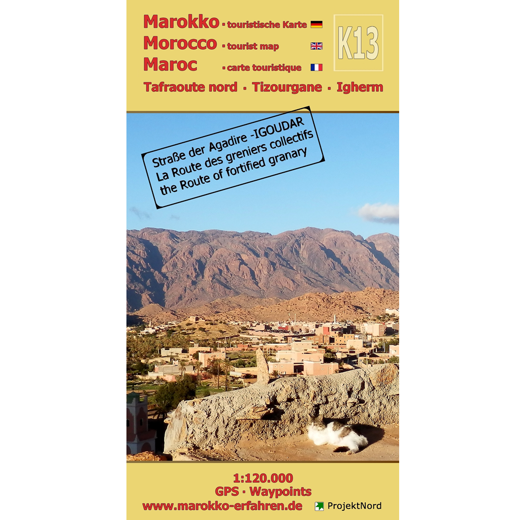


A trilingual (German / English / French) highly detailed tourist map and guide to Morocco featuring 138 destinations — 120 of which include coordinates — along with background information on history, sightseeing opportunities, and other points of interest
– Igoudar (near Agadir) on the R105 and R106
– Ammel Valley with the “Tête du Lion” rock formation, the “Maison Traditionnelle” museum, Tandaft, and the Jewish cemetery
– Tidsi – once a center of sugar production
– Copper and iron mines near Tidsi, Aït Abdallah, and Anamer
– Marble quarry
– Marabouts – tombs of Muslim scholars
– Igui n’Taghrart Cave
– Weekly market days (souks)c
The drive through the Anti-Atlas from Agadir to Tafraoute promises to be exciting and full of variety. Right along Route 105, the picturesque fortified village of Tizourgane beckons. Many Berber fortresses — such as Agadir Tasguent — along the “Igoudar Road” and around Igherm are featured. Looking for adventure? Abandoned mines and a cave that beckon you to explore are easy to find. A natural bridge and a visit to the home of the renowned writer Mohammed Khaïr-Eddine ensure there’s never a dull moment in the region. The topic of souks and weekly markets has been expanded to include an editorial overview.
Floor plans by Dj. Jacques-Meunié
Igui n’Taghrart Cave by Prof. El Hassane Beraaouz, Ibn Zohr University, Agadir
Mapping by Prof. Dr. Uwe Ulrich Jäschke & Theodor Rieche
Concept and implementation by www.marokko-erfahren.de