


A trilingual (German / English / French) highly detailed tourist map and guide to Morocco featuring nearly 140 destinations—many with coordinates—as well as background information on history, sightseeing opportunities, and other points of interest
– Villages such as Iligh, Aguerd Oudad, and Oumesnat; Agadir Id Aïssa, Agadir Aguelloui, and several kasbahs
– Rock engravings around Tafraoute, Amtoudi, and Boutrouch
– The Ammel Valley along the R104, rocky plateaus along the R117, and the Assif Smougen Gorge along the R107
– Canary Island dragon trees, endemic around Jbel Imzi & Jbel Adad Medni
– Zaouïas, marabouts, synagogues, and mellahs in Iligh, Sidi Ahmed Ou Moussa, Timguilcht, and Ifrane (Atlas-Saghir)
– Weekly market days (souks)
– Dr. Werner Wrage, traveling through the Anti-Atlas, visited Tafraoute and the surrounding area in 1960–70
– Dr. Oskar Lenz traveled between Iligh and the Assif Tamanart in 1879–80 on his journey to Timbuktu
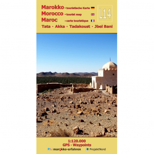
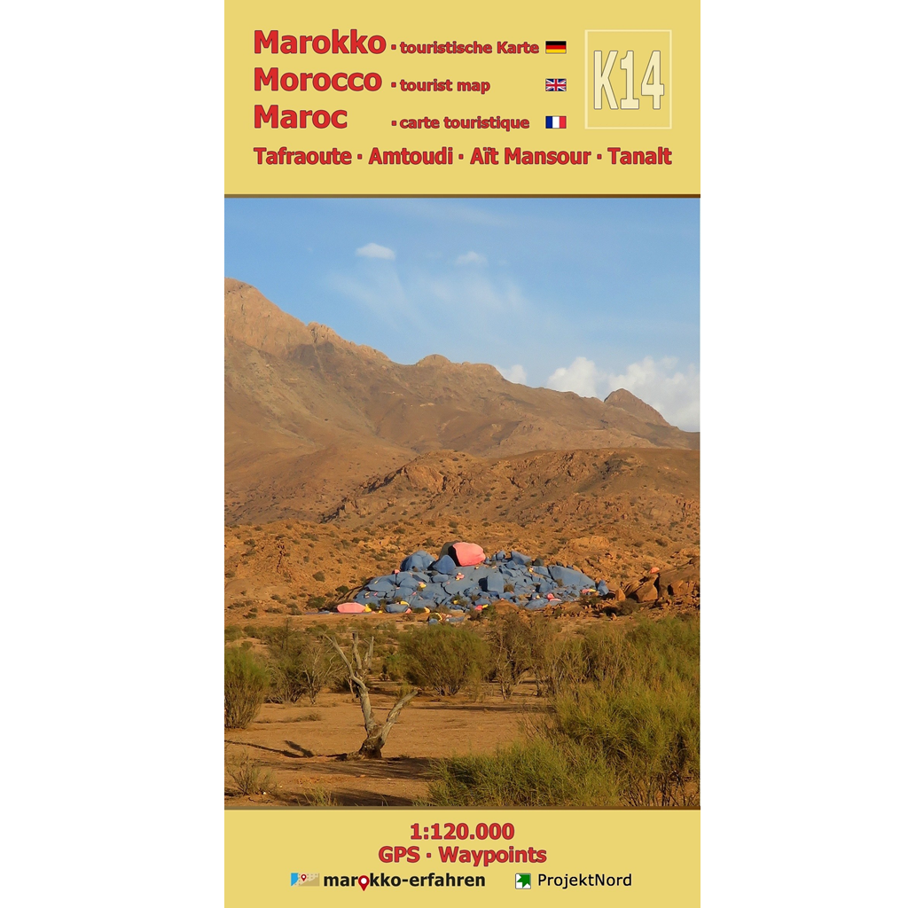
Information on the centuries-long integration of Jewish immigrants enriches the excursions. Floor plans and explanations by Dr. Werner Wrage provide insight into the appearance and structure of traditional houses. Plans of granary castles by Denise Jacques-Meunié and Salima Naji offer additional information. For literature enthusiasts, a visit to the home of writer Mohammed Khaïr-Eddine is well worth it. Nestled in the extraordinary granite rock landscape surrounding Tafraoute are the picturesque villages of Aday, Tazka, and Aguerd Oudad. Behind the “Chapeau de Napoleon,” or “Napoleon’s Hat,” Belgian artist Jean Verame found inspiration for the “Rochers bleus,” the blue or painted stones. A vacation in Tafraoute in the heart of the Anti-Atlas?
Cartographic consultation by Prof. Dr. Uwe Ulrich Jäschke, Dresden
Concept and implementation www.marokko-erfahren.de