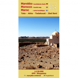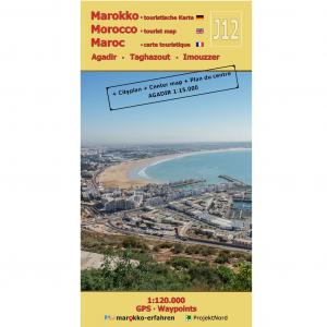


A trilingual (German / English / French) highly detailed tourist map and travel guide to Morocco. Of the more than 200 destinations marked on the map page, nearly 100 are covered in greater detail on the guide page. Over 80 of these include coordinates. The guide also provides background information on history, sightseeing opportunities, and other points of interest.
– Numerous rock engravings at several sites, e.g., in Foum Chenna and along the Oued Ouigane
– Numerous kasbahs around Toundoute, Skoura, and El Kelâa M’Gouna
– Khettaras in the Skoura oasis
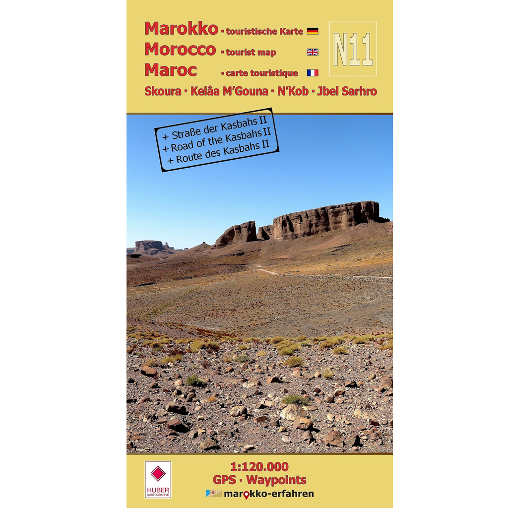
– N’Kob, the town of 45 kasbahs
– Fortified dwellings, e.g., in Sidi Flah and Ouled Merzoud
– Rock engravings in Imi n’Oudraz, Tanoumrit, and Handour
– Stone circles
– Geological features in Jbel Sarhro
– Descriptions by Charles de Foucauld and Werner Wrage
– Weekly market days (souks)
Jbel Sarhro — an extraordinary mountain range — offers more than just its geological features. Numerous storage castles, rock engravings, and pre-Islamic monuments (tumuli?) bear witness to a long human presence. While hiking in the region, one can even come across small waterfalls and pools in nearly untouched valleys that invite you to take a refreshing bath. The plains surrounding the mountain range have also been settled for a long time. Numerous magnificent and, in some cases, very tall mud-brick buildings point to a sophisticated construction method in which nothing was left to chance. Since settlement in Skoura was once only possible thanks to the water supply via underground channels, a detailed article explores the history and construction of this extraordinary system — the khettaras.
The explorers Charles de Foucauld and Werner Wrage pay tribute to this region with great respect in their accounts. Prof. Dr. Herbert Popp contributes two special aerial photographs from his archive.
Cartographic consultation by Prof. Dr. Uwe Ulrich Jäschke, Dresden
Concept and implementation www.marokko-erfahren.de
Further information:
www.marokko-erfahren.de/informieren/landkarten-marokko-erfahren/n11-skoura-kelaa-mgouna-nk