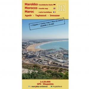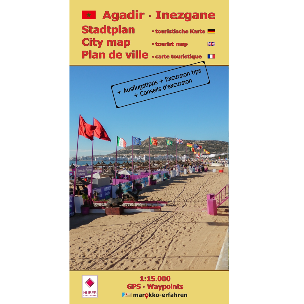


A highly detailed city map of Agadir, Morocco’s tourist hub. Includes a city map of Inezgane.
– Markings for points of interest such as museums, parks, and architecturally significant buildings that survived the 1960 earthquake
– Markings for key urban infrastructure: tourist information centers, hotel complexes, shopping areas, consulates and diplomatic missions, police and post offices, parking lots, and pharmacies
– Alphabetical street index of major streets
The text page supplements these points with a wealth of additional helpful information, such as directions, opening hours, and phone numbers. A total of 30 color photos and 5 historical black-and-white photos provide a glimpse of the destinations. Short text sections provide additional facts. The city’s eventful history is presented. Additionally, excursion tips for the surrounding area are offered. These have not yet been included on any other map sheet from marokko-erfahren. They are illustrated and accompanied by thematic explanations.
– Visit to weekly markets (with dates and locations)
– Short tour to the 3 Igoudar (Agadir region), the traditional Berber watchtowers
– Excursion to the Youssef Ibn Tachfin Reservoir and the “Petit Sahara”
– Tour to an abandoned French fort, a spring, and a turtle-watching spot
A GPS isn’t strictly necessary to use this guide. Although all the relevant information is included, there are also brief, concise directions that specify the distance. The city map is ideal for those who want to make the most of a longer stay in Agadir and keep things interesting and varied.
Cartography: Marie Herrmann, M.Eng.
Further information:
www.marokko-erfahren.de/informieren/landkarten-marokkoerfahren/stadtplan-agadir-cityplan-inezgane