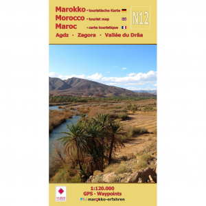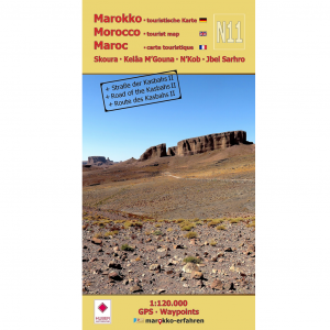

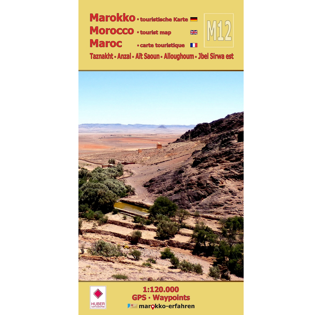


A trilingual (German / English / French) highly detailed tourist map and travel guide to Morocco. Of the more than 200 destinations marked on the map page, 77 are described in greater detail on the travel guide page. Sixty of these include coordinates.
With background information on history, sightseeing opportunities, and other points of interest.
– Minerals in the traditional mining area along RR108 and RP1520 around Bou Azzer
– Abandoned cave dwellings in the limestone cliffs overlooking the Zenaga Plain, not far from RN10
– Mysterious settlement structures east of RR111 on the way to Foum Zguid
– Jewish cemetery near Taznakht
– Partially restored village of Alloghoum with a large tighremt
– Tasla, a former caravan station on RR108 with a small museum
– Storage castles throughout the area
– References to descriptions by Charles de Foucauld, Gerhard Rohlfs, Marquis René de Segonzac, and Werner Wrage, some illustrated with photos and sketches
– Weekly market days (souks)
The diversity of the region between Jbel Sirwa and the eastern foothills of the Anti-Atlas Mountains is what makes this area so appealing. Hikes through virtually uninhabited areas promise more than just breathtaking views. Friendly and helpful locals make visitors feel welcome here. Prof. Elhassane Beraaouz from Ibn Zhor University in Agadir provides information on the region’s geological formation and mineral resources, accompanied by photos of finds from four mining areas. Additional articles cover storage castles and carpet production.
Cartographic consultation by Prof. Dr. Uwe Ulrich Jäschke, Dresden
Concept and implementation www.marokko-erfahren.de