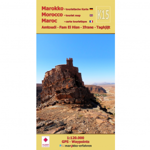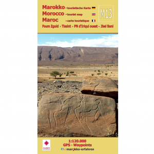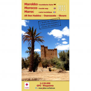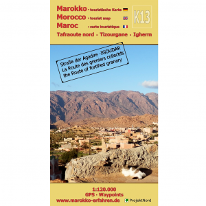

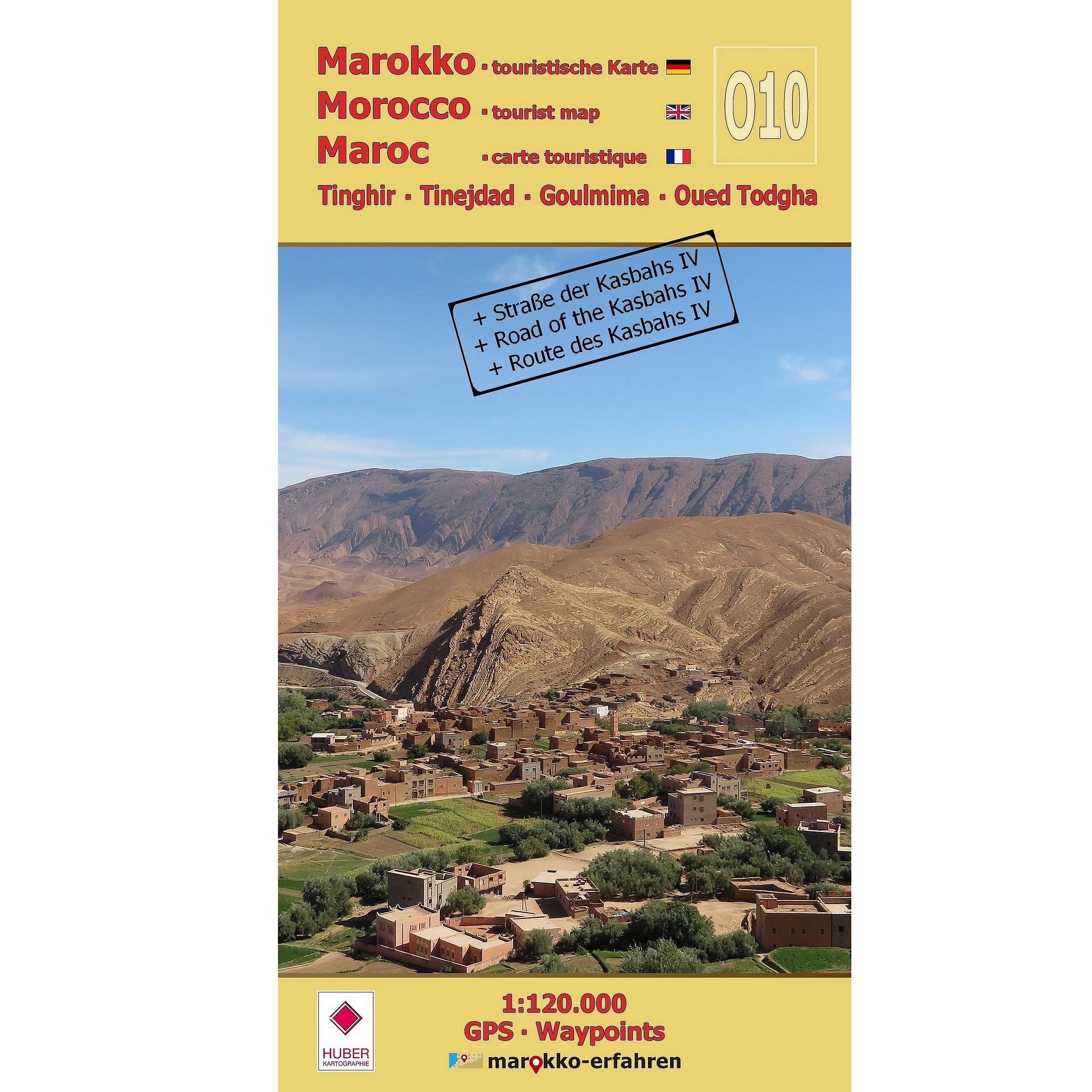
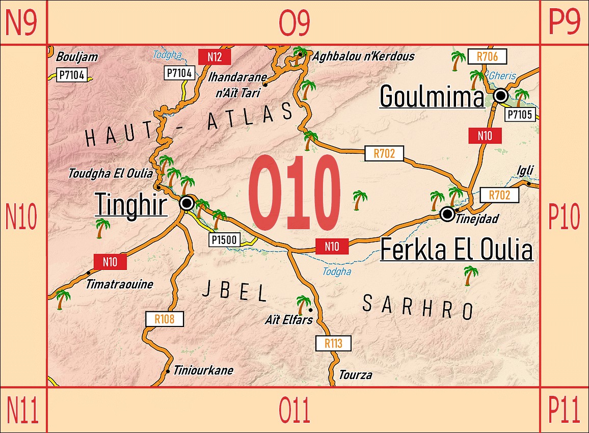
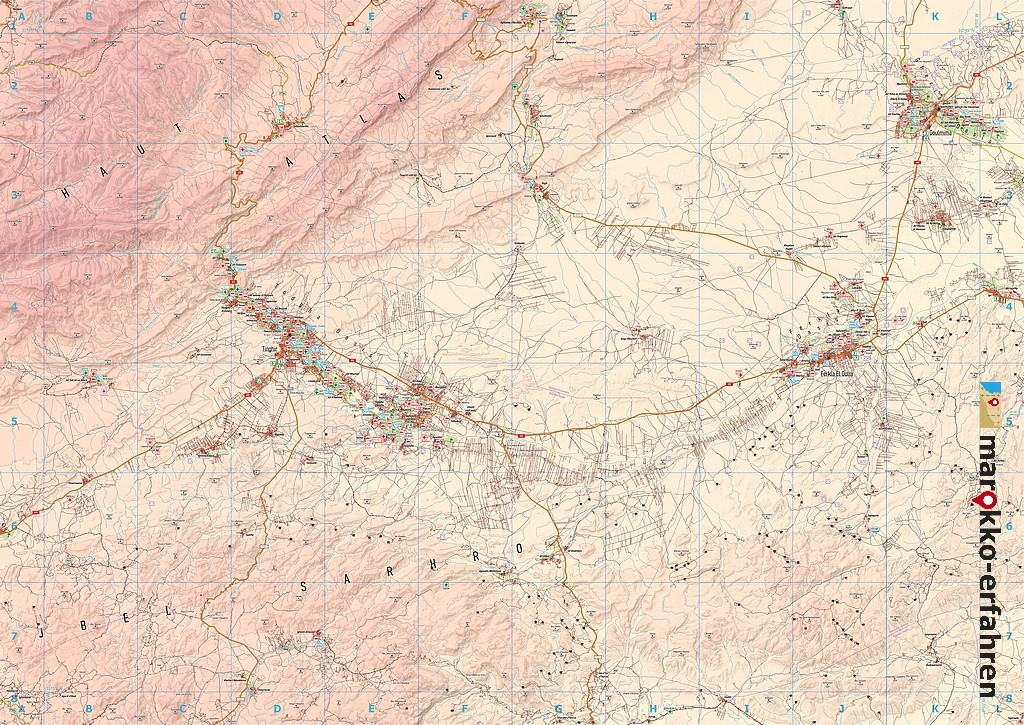
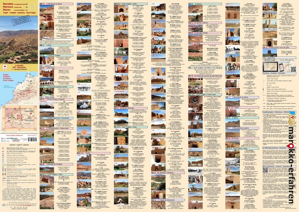
A trilingual (German / English / French) highly detailed tourist map / travel guide to Morocco.
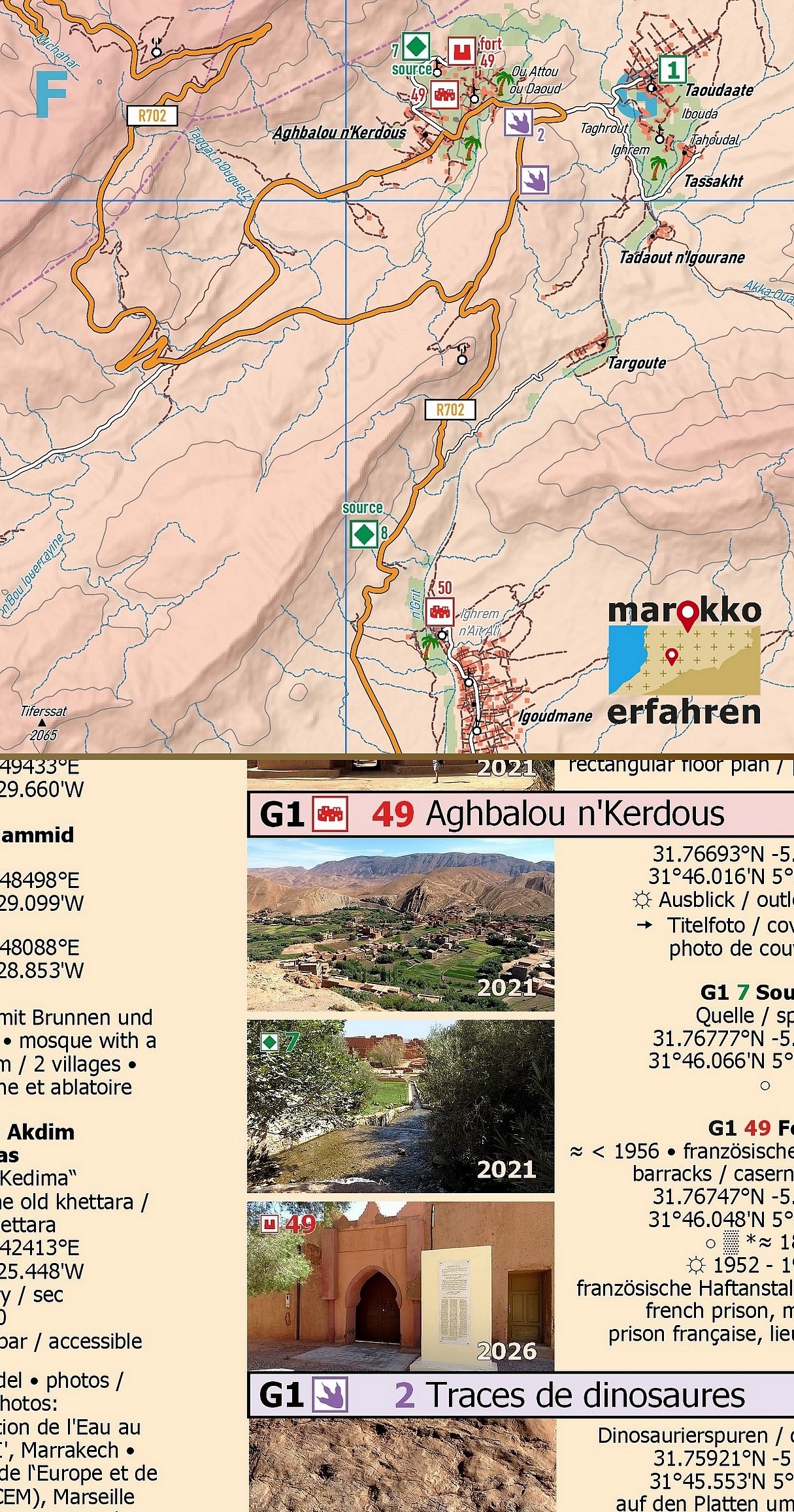
Of the more than 250 destinations marked on the map page, over 150 are described in greater detail on the travel guide page, and many are accompanied by coordinates.
Includes background information on history, places of interest and other highlights.
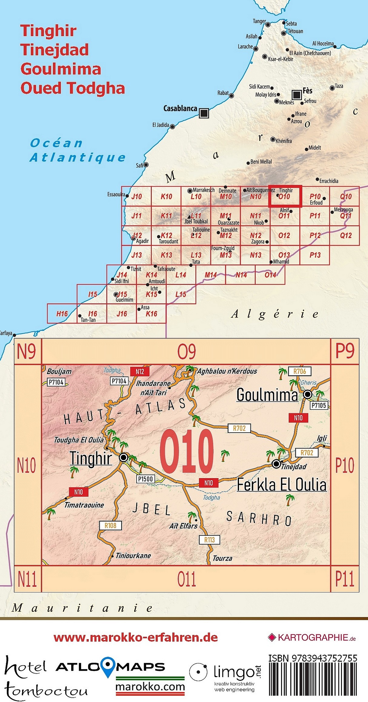
• Tinghir, with the legendary Todgha Gorge and its oasis gardens stretching 25 km downstream
• The Ferkla oasis between Ksar El Khorbat and Tinejdad, stretching over 8 km
• The oasis on the Oued Gheris, including Goulmima, 10 km
• small, little-known oases with springs at the foot of the High Atlas Mountains in Aït Sidi Ali and Aghbalou n’Kerdous
• Excursions to Jbel Sarhro
• four museums well worth a visit
• Memories of the past with Charles de Foucauld, the Marquis de Segonzac and Werner Wrage
• Weekly market days (souks)
Walks in the oases around Tinghir, Tinejdad and Goulmima can be a fascinating experience. Paths wind their way through the shade alongside the water channels. Although many of the former villages have now been left to fall into disrepair, they still offer surprising architectural details and sweeping views.
In a Zaouïa that is still active today, the Moulay is delighted to welcome visitors, opens his small museum and offers those interested a rare insight into the active Sufi community.
To the north-east of Goulmima, a huge necropolis and the remains of ancient fortification walls suggest that the area has been inhabited for a very long time.
This little-noticed region – often used merely as a place to stay overnight for travellers passing through – deserves to be brought into the spotlight.
Cartographic advice provided by Prof. Dr Uwe Ulrich Jäschke, Dresden
Concept and implementationwww.marokko-erfahren.de
Further information:
www.marokko-erfahren.de/informieren/landkarten-marokko-erfahren/o10-tinghir-tinejdad-goulmima-oued-todgha-strasse-der-kasbahs-iv