


A trilingual (German / English / French) highly detailed tourist map and guidebook of Morocco featuring 67 destinations. Almost all include color photos and coordinates.
– Architectural heritage: Kasbahs and granary castles along the N7, P1510, and P1737
– Prehistory: Dinosaur tracks at Tizi n’Tichka, rock art sites near Tainant, Oukaïmeden, and Tigheramt
– Geology: Rock formations near Tamazirte, not far from the N10, and mushroom-shaped rocks along the N9
– Religion: Tinmal Mosque and the marabout of Sidi Chamarouch
– Social life: Weekly market days (souks)
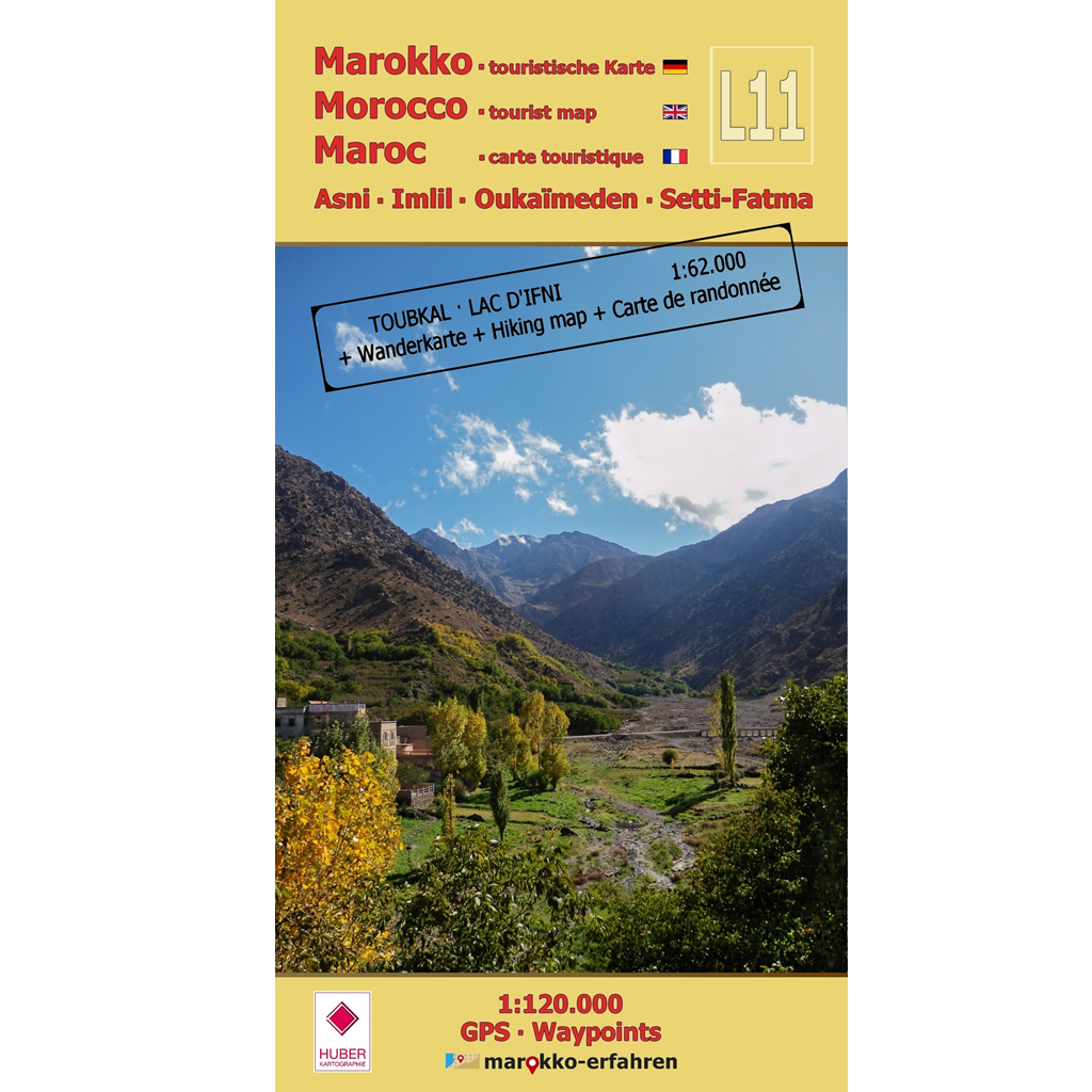
– Leisure: Hiking around Djebel Toubkal and Lac d’Ifni
– Contemporary Accounts: References to travelogues (1880–1960) by Dr. Werner Wrage, Marquis René de Segonzac, and Dr. Oskar Lenz along the N7 between Tizi n’Test and Asni, as well as along the N9
Background information on history, sightseeing opportunities, and other points of interest.
+ Additional information on Toubkal National Park (PNTb) and the collective granaries.
+ Includes a highly detailed hiking map with contour lines, trails, and emergency shelters. Whether you’re an active traveler or simply eager to learn, you can plan your excursions, hikes, and walks with precision.
Whether it’s a trip from Marrakech to the valleys of the Atlas Mountains, a drive toward Ouarzazate, or a journey to Taroudant: this guide offers fascinating and useful information along the route for every area of interest.
Cartography: Almut Jäschke & Prof. Dr. Uwe Ulrich Jäschke,
Hiking Map Imlil • Toubkal • Lac d’Ifni with Marie Herrmann, M.Eng.
Further information: https://www.marokko-erfahren.de/informieren/landkarten-marokko-erfahren/l11-asni-imlil-oukaimeden-setti-fatma