


A trilingual (German / English / French) highly detailed tourist map and travel guide to Morocco. Of the more than 300 destinations marked on the map page, nearly 100 are covered in greater detail on the guide page. Sixty of these include coordinates. The guide also provides background information on history, sightseeing opportunities, and other points of interest.
– Tamnougalt, the former capital of the Mezguida tribe, with its once-magnificent kasbahs, the Mellah, and the synagogue
– Numerous rock engravings at several sites, e.g., in Foum Chenna and along the Oued Ouigane
– Timiderte, featuring a restored mosque
– Ruins of a fortress from the Almohad period on Jbel Zagora
– Pre-Islamic monuments in circular and crescent shapes (“Croissant”)
– Trilobite site
– References to descriptions by Charles de Foucauld, Gerhard Rohlfs, Marquis de Segonzac, and Werner Wrage, some accompanied by historical photos
– Weekly market days (souks)
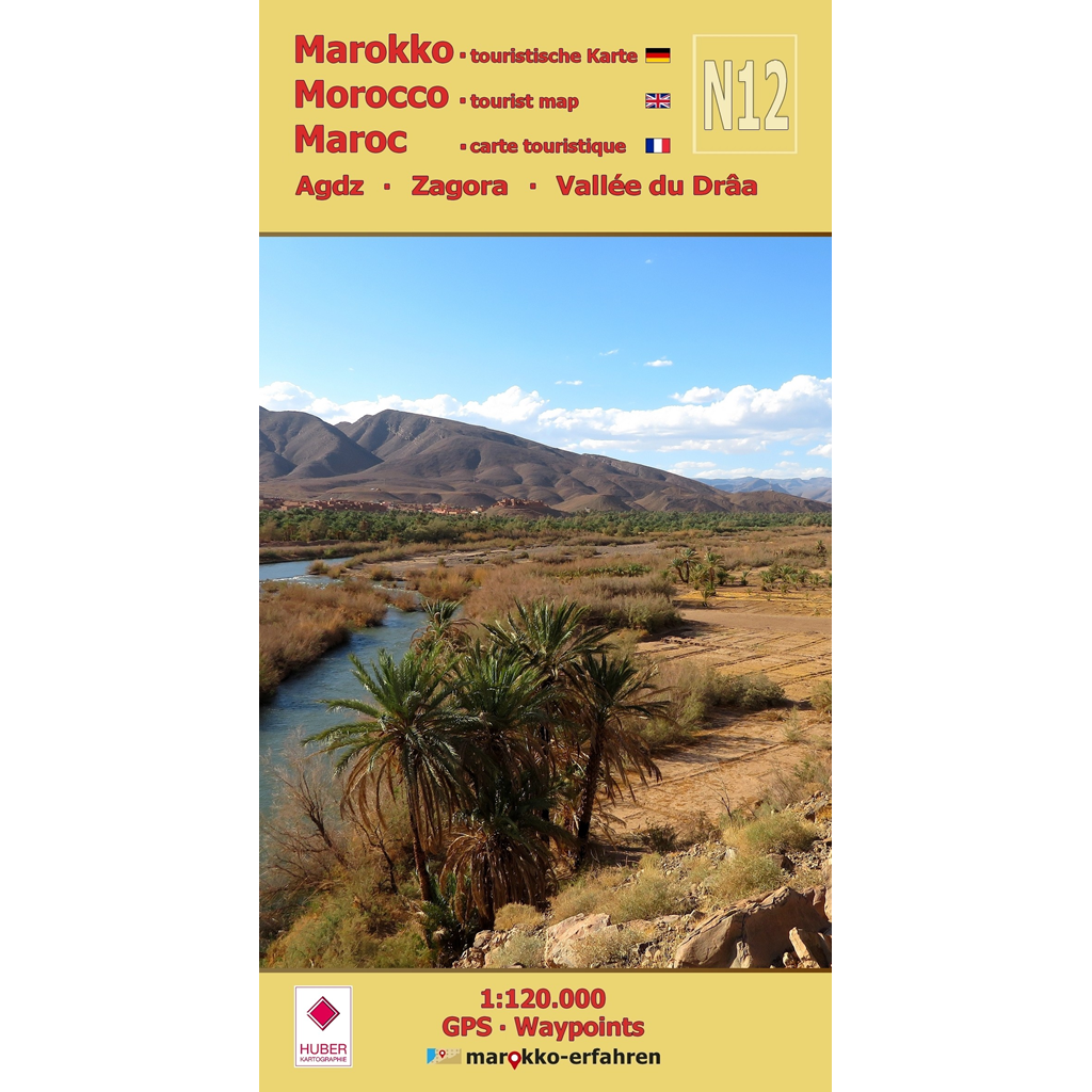
Like a broad green ribbon, the Drâa River winds through the map area. Passing through Agdz, situated between the Anti-Atlas and Jbel Sarhro, one reaches Zagora, the gateway to the desert. Along this route, the Oued Drâa meanders through a landscape of great scenic and cultural beauty. Settlement along the edge of the fertile land has grown continuously to this day. In a scientifically grounded digression, the traces of settlement forms still recognizable today since prehistory are explained. Often, the rock engravings discovered there provide further clues for dating them. Time and again, the sights on the hilltops offer fascinating views of the Drâa Valley. Numerous explorers from the 19th and 20th centuries likely felt the same way as they roamed the valley and recorded their observations.
Cartographic consultation by Prof. Dr. Uwe Ulrich Jäschke, Dresden
Concept and implementation www.marokko-erfahren.de
Further information:
https://www.marokko-erfahren.de/informieren/landkarten-marokko-erfahren/n12-agdz-zagora-vallee-du-draa