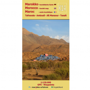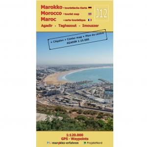


A trilingual (German / English / French) highly detailed tourist map and guide to Morocco featuring over 160 destinations — 88 of which include coordinates — along with background information on history, sightseeing opportunities, and other points of interest
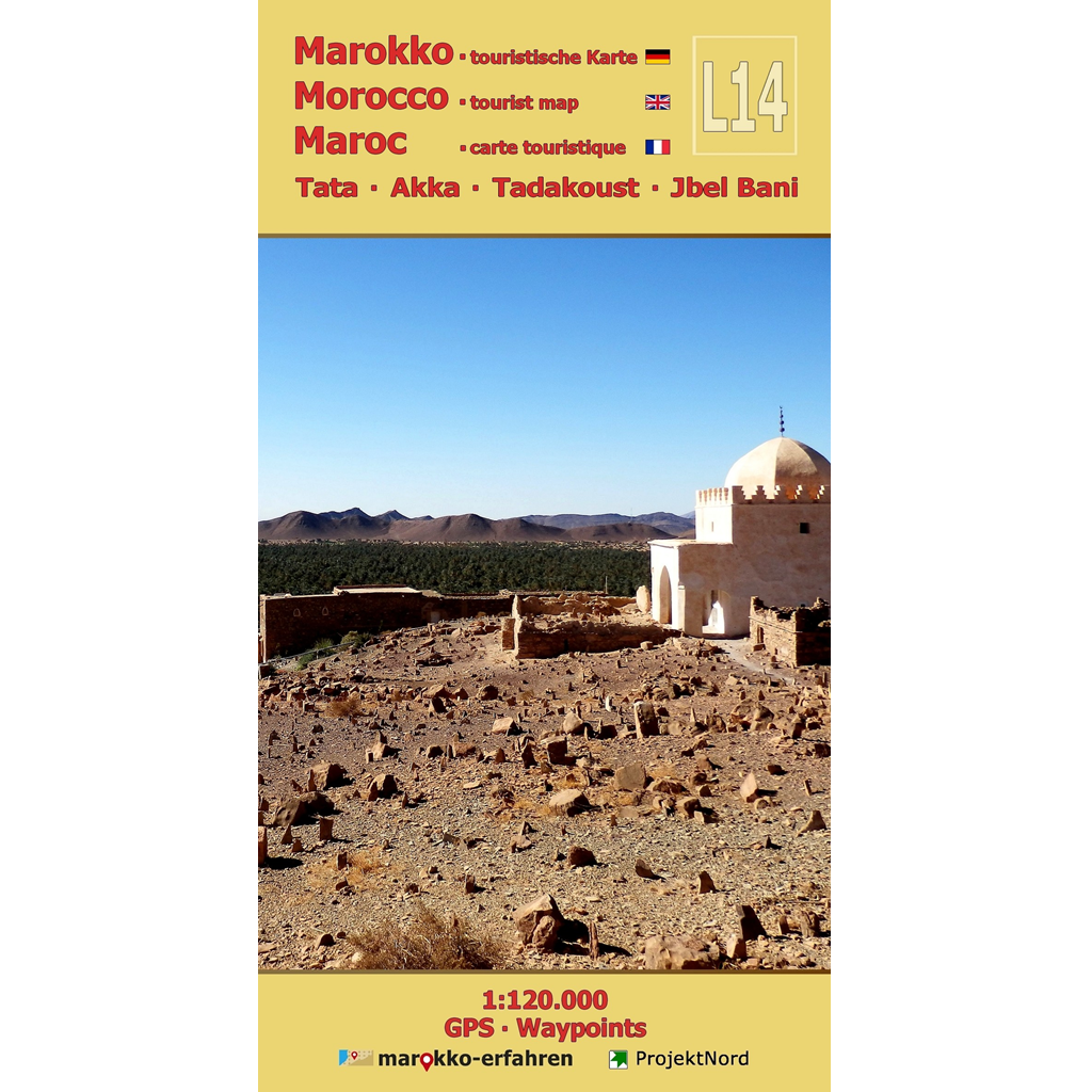
– The oases of Tata and Akka along the N17—featuring the reconstructed minaret of Agadir Amghar
– Small, rare cave paintings
– Sundials and water clocks in Tadakoust, Agadir l’Henna, and Agadir Owzro (also known as Agadir Ouzrou)
– Pre-Islamic monuments in the shape of antennas and crescents (“Croissant”)
– Traces of khettaras
– Numerous rock engraving sites near Oum Laaleg and between Akka and the N7
– Imitek karst – surface landforms
– Zaouïas, mosques, and Jewish cemeteries
– Stops along Charles de Foucauld’s walking route from Tissint to Mogador (Essaouira)
– Weekly market days (souks)
Cattle graze on lush green fields among antelopes and gazelles. Every now and then, an elephant or even a lion approaches — this is how the area along the Assa and Akka rivers, stretching from Jbel Bani to Oued Drâa, looked thousands of years ago. By following the traces of that era, one can imagine what life was like back then. Traditionally developed systems for equitable irrigation in oases can still be experienced firsthand today and impressively illustrate the importance of water. The biography of Rabbi Abi Serur Mordechai, born in Akka, is closely linked to the research journey of Charles de Foucauld, whose trek can be retraced at numerous designated points.
Between the Anti-Atlas and Jbel Bani, the desert rose — the true Rose of Jericho — grows inconspicuously among the stones, its survival strategy well-documented.
Cartographic consultation by Prof. Dr. Uwe Ulrich Jäschke, Dresden
Concept and implementation www.marokko-erfahren.de