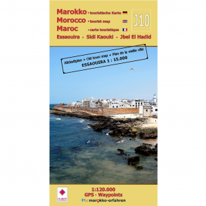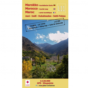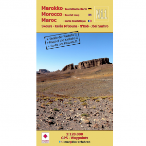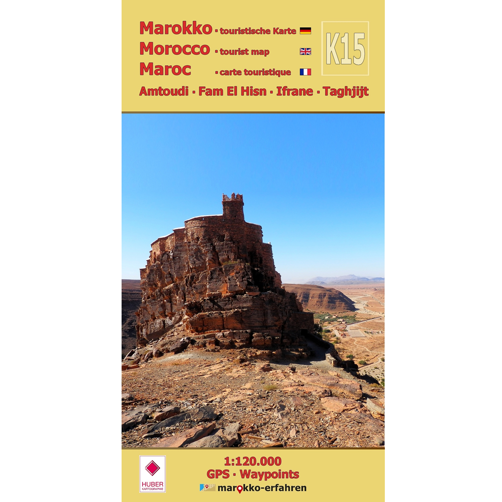


A trilingual (German / English / French) highly detailed tourist map / travel guide of Morocco featuring nearly 100 destinations + many with coordinates + background information on history, sightseeing opportunities, and other points of interest
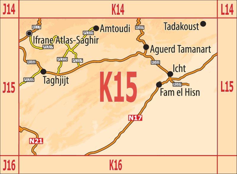
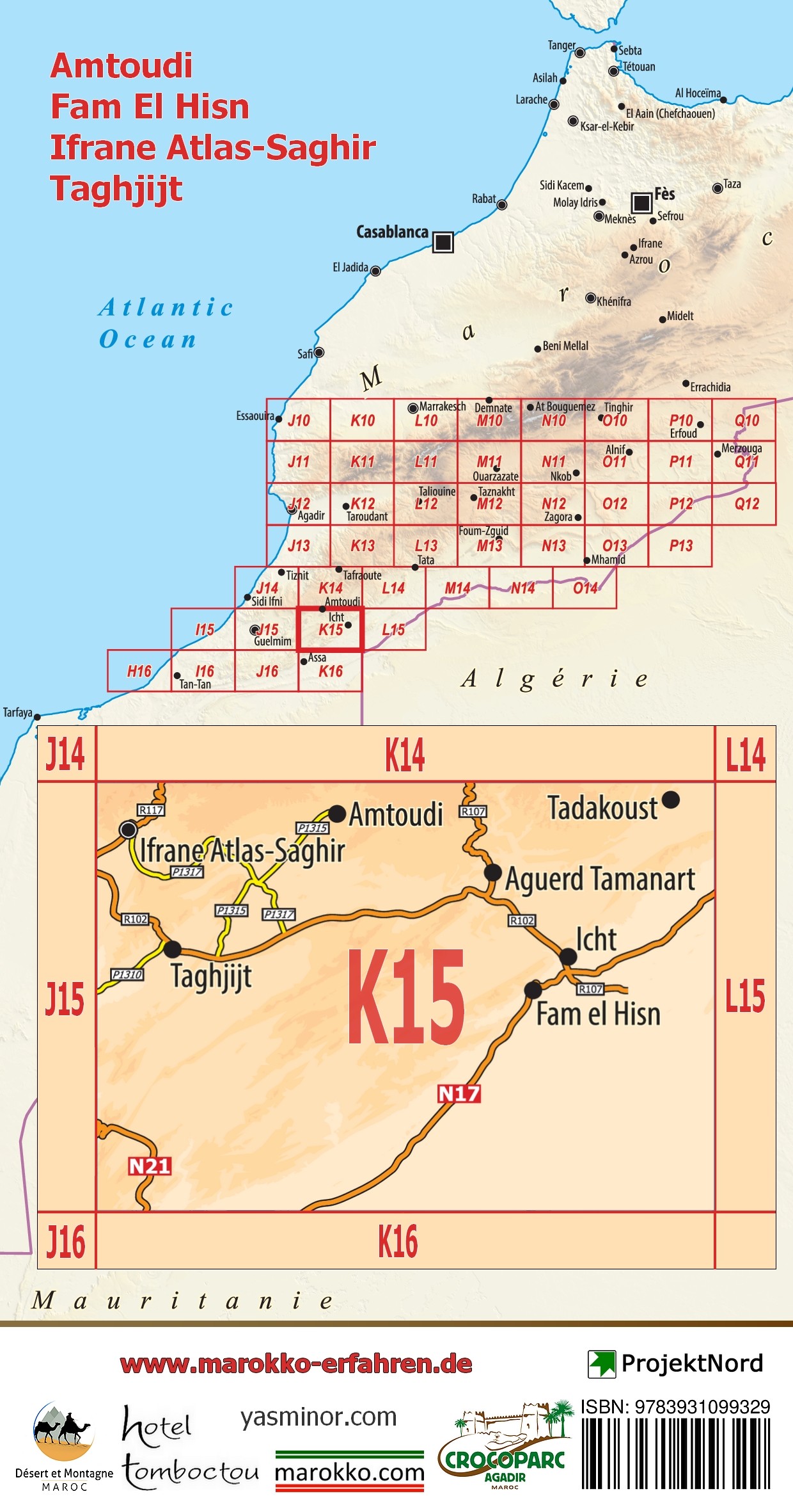
– Architectural heritage: Agadir Id Aïssa, Agadir Aguelloui, and Agadir Tadakoust; Ksar Icht; Khettaras
– Prehistory: Rock engravings at Adrar Zerzem, around Amtoudi and Icht; tumuli and unique stone monuments shaped like antennas and featuring stone enclosures at Fam el Hisn and south of the N17
– Geology: hot and cold springs, dendrites
– Religion: marabouts, synagogues in Tamanart and Ifrane (Atlas-Saghir)
– Social life: weekly market days (souks)
– Historical figures: In the footsteps of Dr. Werner Wrage in the 1960s and 1970s during his adventurous search for Agadir
Id Aïssa in Amtoudi and Dr. Oskar Lenz in 1879/80 on his journey to Timbuktu along what is now the R107. Concise information on the fauna and flora of the present and the past. Barbary squirrels, fish, and crocodiles; the Oscher with its Sodom apples. The formation of dendrites. Around 1850, Rabbi Mardochée described a fortification near Taghjijt. Alain Rodrigue, PhD in Prehistory, evaluates increasingly frequent and rather strange rock engravings. Hikes in remote mountain regions can be turned into adventures. Numerous sites of carefully researched rock engravings enrich the day trip. The day can end in a relaxed manner in oases with babbling water channels. A wide range of cultural offerings — from Imazighen architecture to the Jewish past and pre – Islamic monuments — can be explored according to individual interests.
Cartographic consultation by Prof. Dr. Uwe Ulrich Jäschke, Dresden
Concept and implementation www.marokko-erfahren.de